Photo: Survey of India · Public domain
Understanding India's Administrative Map
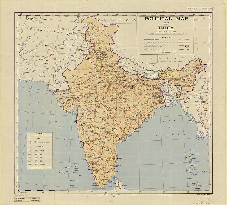
India's vast territory is organized into 28 states and 8 union territories, each with distinct administrative boundaries, cultures, and governance structures. This comprehensive administrative division reflects India's federal structure, where states enjoy significant autonomy while union territories are directly administered by the central government.
Current Administrative Structure (2025)
Following several reorganizations, India now comprises 28 states and 8 union territories. The most recent changes include the reorganization of Jammu & Kashmir and the creation of Ladakh as a separate union territory in 2019, along with the merger of Dadra & Nagar Haveli with Daman & Diu in 2020.
States and Their Capitals
| State | Capital | Population (2024 est.) |
|---|---|---|
| Andhra Pradesh | Amaravati | 52.2 million |
| Arunachal Pradesh | Itanagar | 1.5 million |
| Assam | Dispur | 35.6 million |
| Bihar | Patna | 128.3 million |
| Chhattisgarh | Raipur | 29.4 million |
| Goa | Panaji | 1.6 million |
| Gujarat | Gandhinagar | 70.1 million |
| Haryana | Chandigarh | 28.9 million |
| Himachal Pradesh | Shimla | 7.3 million |
| Jharkhand | Ranchi | 38.6 million |
| Karnataka | Bengaluru | 68.5 million |
| Kerala | Thiruvananthapuram | 35.1 million |
| Madhya Pradesh | Bhopal | 85.4 million |
| Maharashtra | Mumbai | 123.1 million |
| Manipur | Imphal | 3.3 million |
| Meghalaya | Shillong | 3.4 million |
| Mizoram | Aizawl | 1.2 million |
| Nagaland | Kohima | 2.2 million |
| Odisha | Bhubaneswar | 47.4 million |
| Punjab | Chandigarh | 30.1 million |
| Rajasthan | Jaipur | 81.3 million |
| Sikkim | Gangtok | 0.7 million |
| Tamil Nadu | Chennai | 77.8 million |
| Telangana | Hyderabad | 39.1 million |
| Tripura | Agartala | 4.2 million |
| Uttar Pradesh | Lucknow | 241.1 million |
| Uttarakhand | Dehradun | 11.4 million |
| West Bengal | Kolkata | 99.6 million |
Union Territories and Their Capitals
- Andaman & Nicobar Islands - Port Blair
- Chandigarh - Chandigarh (serves as capital for both Punjab and Haryana)
- Dadra & Nagar Haveli and Daman & Diu - Daman
- Delhi (National Capital Territory) - New Delhi
- Jammu & Kashmir - Srinagar (summer), Jammu (winter)
- Ladakh - Leh
- Lakshadweep - Kavaratti
- Puducherry - Puducherry
Key Geographic Facts
India's administrative map covers a total area of 3.287 million square kilometers, making it the 7th largest country by land area globally. The country stretches approximately 3,214 km from north to south and 2,933 km from east to west, with a coastline spanning 7,516 km along the Arabian Sea, Bay of Bengal, and Indian Ocean.
Notable Administrative Features
Shared Capitals: Chandigarh uniquely serves as the capital for both Punjab and Haryana states. This planned city, designed by Le Corbusier, exemplifies modern urban planning in India.
Seasonal Capitals: Jammu & Kashmir maintains two capitals - Srinagar during summer months and Jammu during winter, reflecting the region's challenging terrain and climate.
Largest and Smallest: Rajasthan is India's largest state by area (342,239 sq km), while Goa is the smallest (3,702 sq km). By population, Uttar Pradesh leads with over 240 million residents, while Sikkim has the smallest population among states.
Understanding India's Federal Structure
India's administrative divisions reflect its commitment to federalism and diversity. Each state has its own elected government, official languages, and cultural identity, while union territories are directly governed by the central government through appointed administrators. This structure accommodates India's incredible linguistic, cultural, and geographic diversity while maintaining national unity.
The administrative map continues to evolve based on developmental needs, administrative efficiency, and regional aspirations, making India's federal structure dynamic and responsive to changing circumstances.